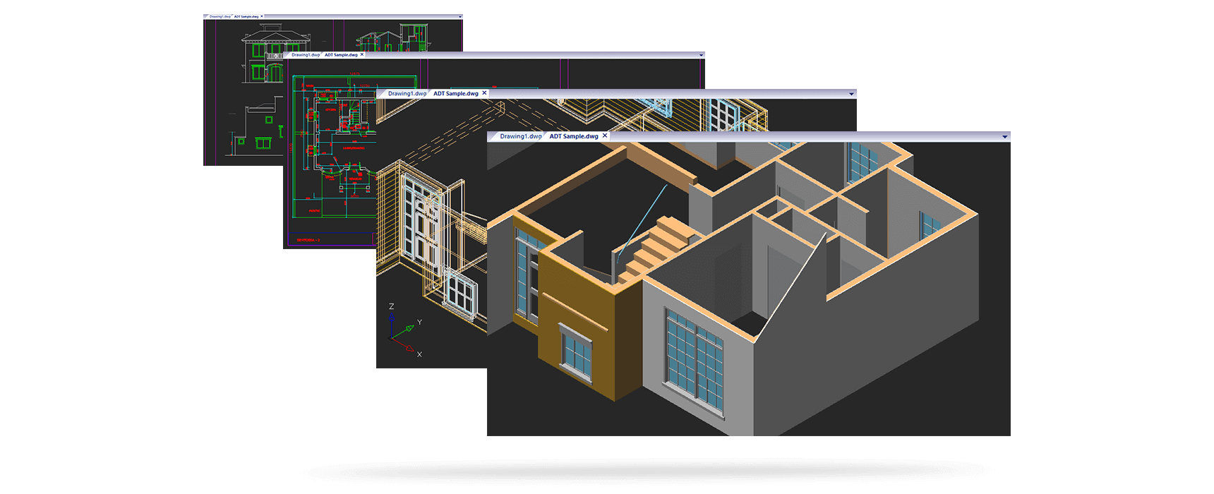
IGiS CAD is a powerful 2D drafting and 3D modelling software for professionals not only to design but also to plan, execute, and analyse their projects with precision. It meets the requirements of various disciplines including that of Architecture, Engineering, Construction, Mechanical, Urban Planning, and many more. IGiS CAD is the perfect tool for 2D drafting and 3D modelling along with cartographic capabilities.
Core CAD and GIS Competency
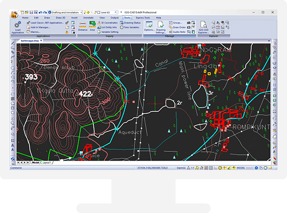
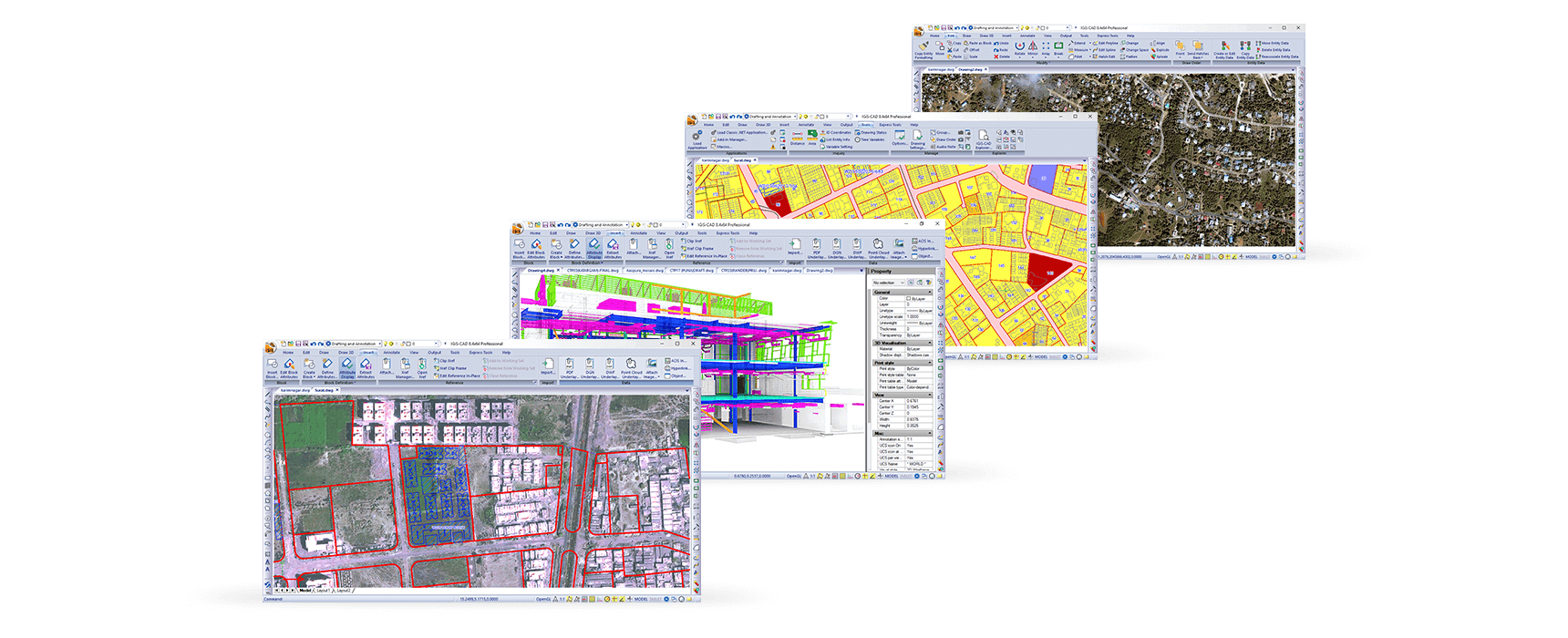
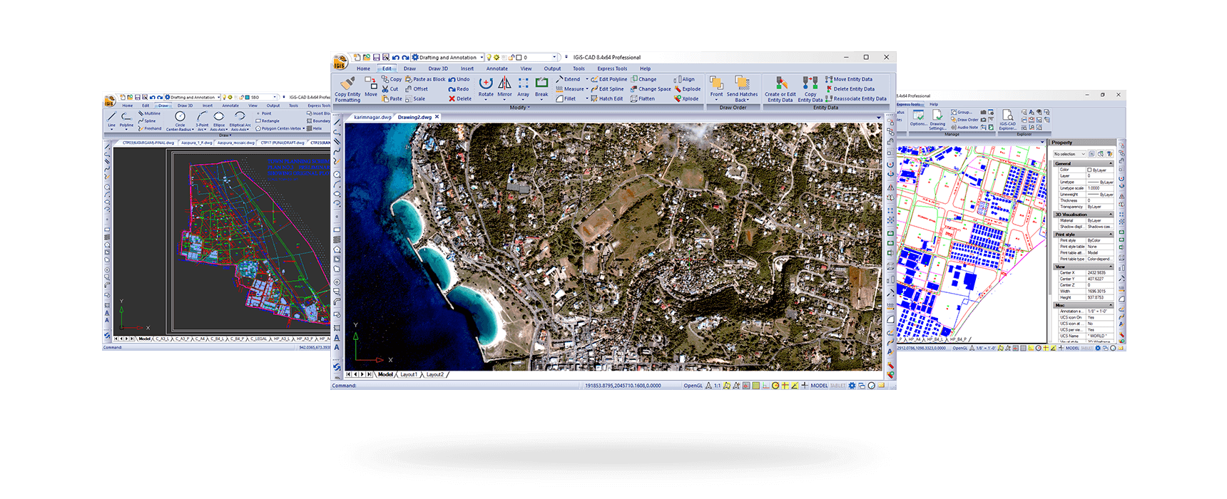
IGiS CAD has fast, efficient, and user-friendly tools for all types of 2D & 3D GIS data conversion and digitization. It contains advanced tools for raster to vector (R2V) and topology creation. Users can use Coordinate Geometry (COGO) descriptions to accurately generate features from engineering drawings sources like surveys and building plans. IGiS CAD is also capable of geo-referencing these new features into the GIS database.
Design with Confidence
IGiS CAD gives the user total confidence in terms of usage, adaptability and after-sales support. IGiS CAD provides Native DWG/DXF support along with 150+ raster file formats. The familiar CAD interface equipped with the classic and ribbon menu bar allows the user to start working on IGiS CAD from the get-go, reducing the learning time to zero. The after-sales support is given directly from Scanpoint Geomatics Ltd, making it dedicated and seamless.
Geospatial Data Support
IGiS CAD is OGC compliant, which makes it easier to work with standards organisations and industry associations. IGiS CAD WMS plugin provides support to consume WMS service data and display it as background. Users can use this background layer as a reference for digitization and visualization purposes. The plugin also provides ready to use open map services like Google Maps, Bing and OSM, etc.