IGiS can be used by the defence forces in a variety of applications like mapping, cartography, terrain analysis, remote sensing, image exploitation, battlefield management, change detection and monitoring enemy activities.
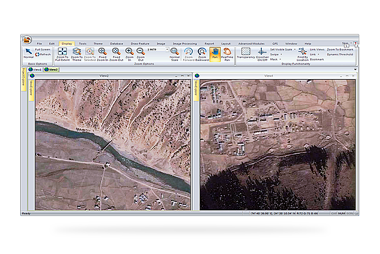
Image Exploitation for Intelligence - Optical Satellite Imagery
IGiS has tools required for image exploitation of images obtained from optical satellites to reveal meaningful patterns in geospatial images to provide intelligent support needed by the ground personnel.
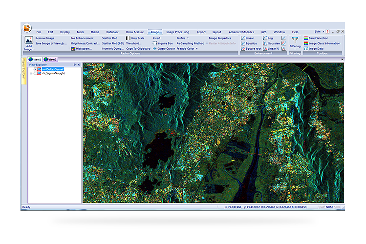
Microwave (SAR) Data Exploitation
Optical satellite imagery has limitations in conditions like cloudy environment, Night mode data capturing needs. In this situation, microwave remote sensing becomes the prime data source. IGiS has developed tools to Read/process and Analysis Microwave sensors like RISAT-1, Alos, TerraSAR X, Radarsat-2,Sentinel etc for operational monitoring purpose.
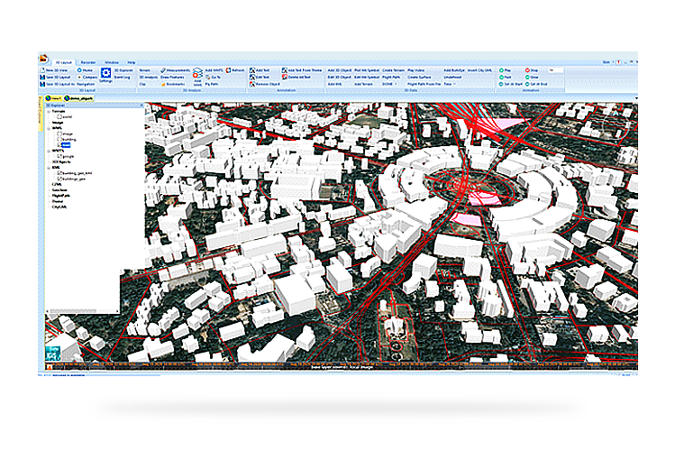
3D Analysis and 3D Model Generation
IGiS Defence solutions provide a set of tools that helps integrate various types of geospatial data and satellite imagery. It also provides you with tools for 3D visualization and analysis of the terrain. IGiS has inbuilt tools for the creation of 3D models by using overlays and various geospatial data.
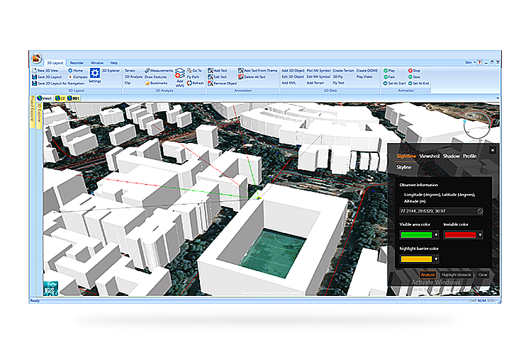
The Line of Sight (LOS) Analysis Tool
This dynamic tool takes a polyline as its input. It helps us determine the visibility of the line of sight across obstructions on a surface. In simple terms, it shows you what you can see from a particular location in the landscape. In other words, the military personnel can observe the terrain from a location using given observer information, showing areas those are visible to one or more of the observers or not visible to any.