IGiS provides a comprehensive GIS-based digital environment to enhance the urban systems in terms of utility management, solid waste management, revenue improvement, project planning and management, efficient and transparent citizen services, and much more. IGiS facilitates a Smart City with an advanced geospatial framework to meet all its needs.
Smart Revenue Management
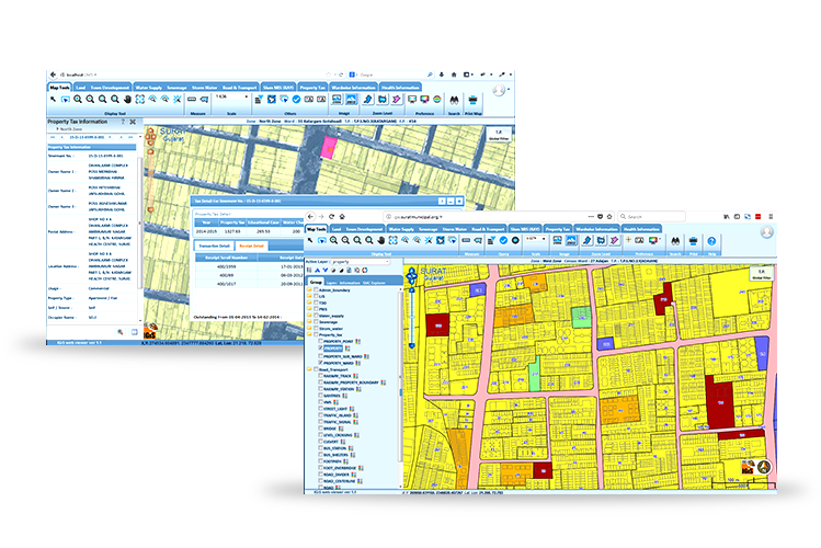
Integrate property data with building foot print on GIS map to identify unassessed and under assessed properties. Various types of mapping and classification of properties like type, usages, ownership status, payment history using GIS analysis helps tax administrator in quickly identify the potential revenue gap and action needed to plug it.


Smart Health
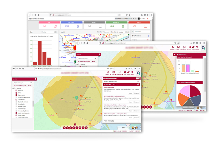
Spatial data analysis of available public health infrastructure along with capability and capacity helps plan and respond to epidemic/pandemic effectively. GIS analysis of historic data and trends enables authorities to manage the critical health care resources smartly and efficiently by identifying the vulnerable hotspots in advance. Dissemination of authentic spatial information related to every aspect of outbreak allows citizen to take necessary precaution and eliminates rumours mongering.
Smart Water Distribution
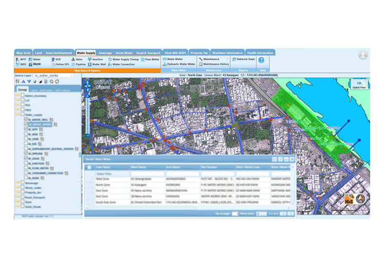
GIS based Smart Water solution helps to plan capacity augmentation based on spatial demographic data. SCADA integrated system detects any leakage/ outage quickly for efficient water network monitoring and management. In case of any unavoidable outage, network tracing enables authorities to pin point impacted house hold to make alternate water supply arrangement.


Smart Public Safety
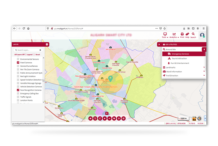
Improve real-time response to emergency incidents with the help of geo-processing tools and advances city base maps. Mapping of emergency response infrastructure capacity and capability reduces uncertainty by enabling informed decisions making swiftly. GIS Integrated surveillance systems (like CCTV Camera, PIDS etc.) can provide critical information for criminal investigation activities.
