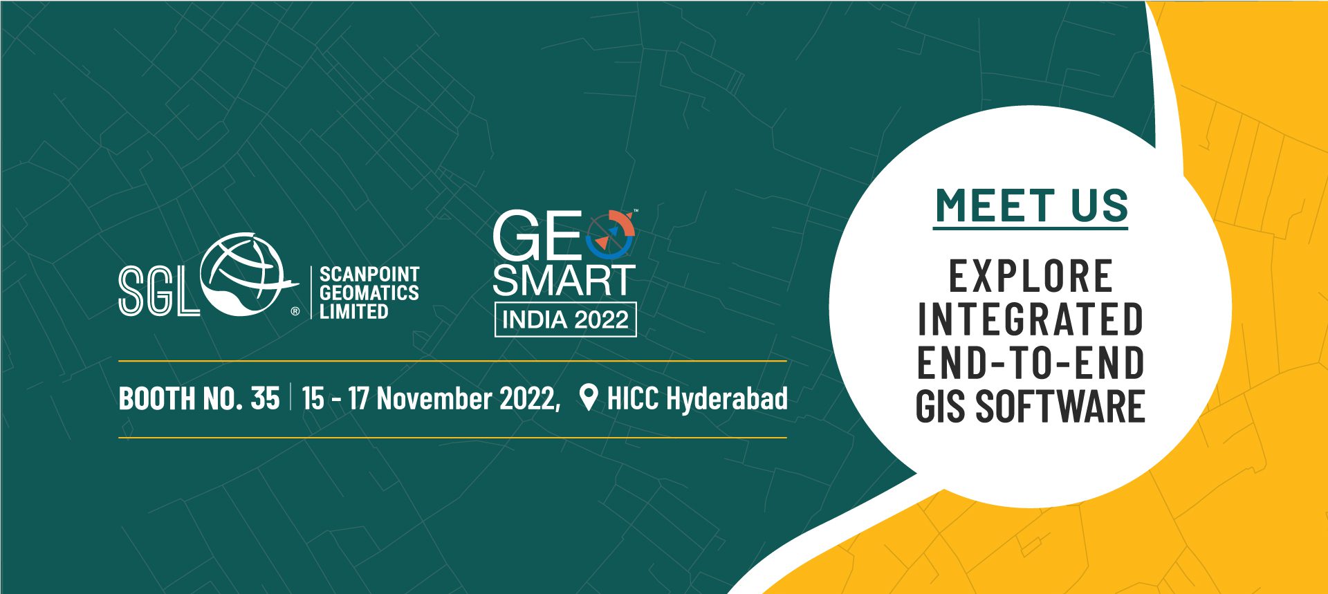
About SGL
We pioneer the nation’s geospatial domain through IGiS - an indigenous technology that brings GIS, Image Processing, Photogrammetry, and CAD together on the same platform. At SGL, we share more with you that the products we offer. We also share your drive to solve complex GIS problems, increase your yield and enable your next geospatial technology platform. Our deep understanding of the Geospatial industry and the breadth of solutions we offer, make us uniquely qualified to cater your needs.