IGiS for Defence
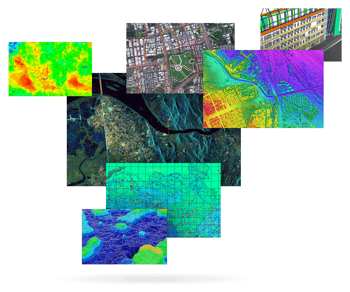
IGiS is being used by the defence forces in a variety of applications. These would include mapping, cartography, terrain analysis, remote sensing, image exploitation, battlefield management, change detection, and monitoring enemy activities.
Explore MoreIGiS for Land Records System
Land Record System is a smarter and easier way to find out the owner of the land, anywhere in the country. It helps in maintaining and securely sharing the land records and relevant information.
Explore MoreIGiS for Urban Information System
IGiS Urban Information System is designed for planning and monitoring urban areas. The system increases transparency and improves the quality of living.
Explore MoreIGiS for Agriculture
IGiS Agriculture Information System (AIS) – Analyse and Improve Farm Productivity
Explore MoreIGiS for Smart City
IGiS Smart City solution helps in making the city smarter in terms of pollution, water, waste, energy, tax, and many more by incorporating GIS technology.
Explore More
