Who we are?

We pioneer the nation’s geospatial domain through IGiS - an indigenous technology which brings GIS, Image Processing, Photogrammetry, and CAD together on the same platform. At SGL, we share more with you that the products we offer. We also share your drive to solve complex GIS problems, increase your yield and enable your next geospatial technology platform. Our deep understanding of Geospatial industry and the breadth of solutions we offer, make us uniquely qualified to cater your needs.

What we do?

Makers of IGiS - an indigenous technology which brings GIS, Image Processing, Photogrammetry, and CAD together on a single platform.

IGiS caters to a multitude of solutions across industries like Agriculture, Defence, Forestry, Disaster Management, Land Information, Mining, Power, Smart City, Urban Planning, Utilities and Location Based Service.

How we do it?

We are most proud of our technology development partnership with ISRO in  the search for the best solutions and approaches for the products we make. Our partnership ensures that our customers can access the latest advances in GIS, Image Processing, Photogrammetry, and CAD. Backed by ISRO’s domain expertise, we aim to push forth innovation and uplift the global geospatial domain.

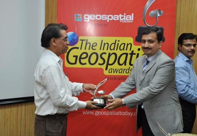
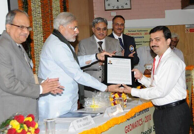
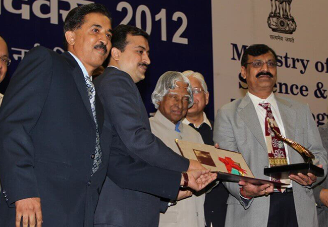
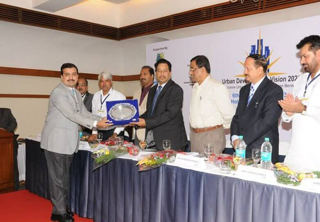
Awards

Our achievements in Geospatial industry

Discover More about IGiS

World's first indigenous technology which brings GIS, Image Processing, Photogrammetry, and CAD together on a single platform.

Explore More

More about IGiS - Solutions

IGiS caters to a multitude of solutions across industries like Agriculture, Defence, Forestry, Disaster Management, Land Information, Mining, Power, Smart City, Urban Planning and Utilities.

Explore More